Direct answer
Check the forecast, the aircraft limits, and the actual launch area in that order.
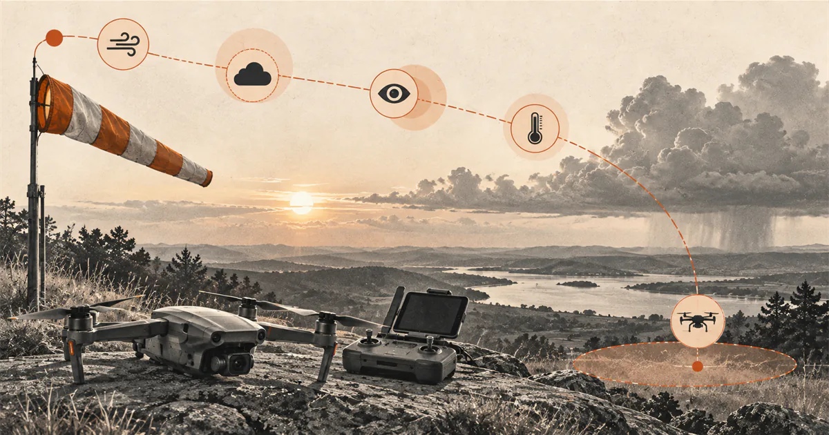
Set the exact location and flight time, review an official local forecast and active hazards, compare sustained wind, gusts, temperature, visibility, and precipitation with the current aircraft manual, then observe the launch area and route. If conditions differ from the forecast, approach a model limit, reduce visual line of sight, or are changing too quickly to preserve a safe return and landing, do not launch.
Set the location and time first
A daily weather icon is too broad for a flight decision. Start with the exact launch area, planned route, date, and flight window. Check how long setup, the flight, landing, and pack-up could take so the review includes the whole time outdoors.
Location matters because a forecast applies to a defined point or area, while the aircraft may cross an exposed field edge, ridge, shoreline, parking lot, or sheltered space near buildings and trees. Time matters because gusts, precipitation, visibility, temperature, and thunderstorm risk can change within an hour.
If the forecast location or valid time is unclear, do not treat the result as a current briefing for the flight.
Review an official forecast and hazards
Open the current National Weather Service forecast for the location and read beyond the headline condition. Check the hourly change around the planned flight and any watches, warnings, advisories, or hazardous weather information relevant to the area.
For a simple recreational session, the FAA Safety Briefing advises at least checking the latest local forecast. It points pilots who need a more comprehensive review toward the National Weather Service Aviation Weather Center. The appropriate depth depends on the operation; a consumer weather app alone should not hide its source time or reduce several hazards to one green score.
Record when the forecast was issued or updated. A cached screenshot from yesterday is not a current weather check.
Compare every condition with the exact manual
Read the current aircraft and battery documentation before assigning a go or no-go result. Check the conditions and limits the manufacturer actually publishes, which may include:
- sustained wind or wind resistance;
- gust or flight-mode qualifications;
- operating and charging temperature;
- rain, moisture, fog, snow, or icing restrictions;
- visibility or lighting requirements for positioning and obstacle systems;
- warnings that change return, landing, sensing, or battery behavior.
There is no universal safe wind speed, temperature range, or amount of precipitation for consumer drones. A number from another model, a generic weather app threshold, or a pilot’s previous flight does not replace the manual.
Read wind and gusts separately
The National Weather Service distinguishes a sustained wind forecast from a wind-gust forecast. Check both values, the direction, and how they change during the flight window. The difference between the sustained value and gusts can be as important as either number alone because it describes how abruptly demand on the aircraft may change.
Then consider the local surface. Buildings, trees, ridges, gaps, and terrain can disturb or accelerate airflow. A sheltered takeoff point can feel calm while the planned hover area is exposed. The drone wind basics guide explains this model-limit and local-flow decision in more detail.
Keep units consistent when comparing the forecast with the manual. Do not round a converted value in a direction that makes the margin look larger.
Check visibility, moisture, and lighting
Fog, haze, rain, snow, smoke, dust, glare, and a dark background can shorten the distance at which orientation and nearby air traffic remain clear. The FAA requires recreational flyers to keep the aircraft within visual line of sight. A camera image or map marker does not replace that view.
Moisture is also an aircraft question. Do not assume a drone is rain-safe because the motors continue running or because another model has a weather-resistance claim. Check the exact manufacturer’s restriction before exposing the aircraft, battery, controller, or charging equipment to precipitation or condensation.
Use Can You Fly a Drone in Rain? when precipitation is part of the decision. The answer depends on exact-model permission and adequate visual line of sight, not on whether another aircraft survived a wet flight.
Low light, fog, uniform surfaces, and precipitation may affect positioning or obstacle systems even when the pilot can still see the aircraft. Review those conditions before relying on Return to Home or automated landing.
Check temperature and battery margin
Temperature can affect battery performance and may introduce warm-up, charging, storage, or flight restrictions. Compare both the forecast temperature and the equipment’s actual condition with the manual. A battery carried from an air-conditioned room or a cold vehicle may not match the surrounding air immediately.
The cold-weather guide separates flight, charging, frost, and condensation limits. The hot-weather guide adds direct sun, parked-vehicle heat, cooling before charging, display performance, and pilot heat risk.
Do not invent a warm-up method or charge a battery outside its documented range. Keep batteries protected from direct sun, precipitation, and unattended vehicle heat, then follow the exact charging and installation instructions.
Plan an earlier return and landing when weather could increase power demand. A displayed percentage is not a guarantee of flight time in wind, temperature, or changing conditions.
Treat thunder as a stop signal
The National Weather Service says outdoor activities should be postponed early when thunderstorms threaten and that people should move into a substantial building or hard-topped vehicle when thunder is heard. A drone flight is not a reason to remain in an exposed field to recover equipment.
Check thunderstorm timing before traveling and continue watching the sky. Darkening clouds, increasing wind, lightning, or thunder means the flight plan is no longer stable. Land before the threat arrives when that can be done safely, then move to shelter. Do not wait for rain to begin.
Compare the forecast with the launch area
At the site, repeat the weather check before unpacking or powering the aircraft. Observe wind direction and gusts, visibility along the entire route, cloud development, precipitation, temperature, and any airborne dust or debris.
Local observations are a cross-check, not a replacement forecast and not a calibrated aircraft limit. A handheld wind meter measures one place and moment. Tree movement or water texture can reveal change, but cannot prove an exact wind speed at flight height.
If the actual site is materially different from the forecast, use the worse or more uncertain condition and postpone. Do not adjust the interpretation until it permits the flight.
Use this repeatable weather check
Run this sequence inside the full drone preflight checklist:
- Set the exact location, route, flight window, and expected session duration.
- Open the latest official local forecast and active hazards.
- Read the hourly trend through setup, flight, landing, and pack-up.
- Compare sustained wind, gusts, direction, and change with the exact manual.
- Check visibility, fog, haze, smoke, dust, precipitation, and lighting.
- Check air temperature and the documented aircraft, battery, and charging limits.
- Identify thunderstorm risk and the nearest suitable shelter before going outside.
- Recheck the launch point and whole route immediately before takeoff.
- Set a weather change that will end the flight early.
- Launch only when the forecast, local observations, aircraft limits, and return margin agree.
Postpone when a model limit is close, the data is stale, two sources conflict, local conditions are worse than expected, or the weather is changing faster than a conservative return and landing can absorb. A no-go decision is the successful output of the checklist when uncertainty remains.
Sources
Check the underlying guidance.
FAA sources identify weather as part of the pilot's preflight responsibility and explain how wind, precipitation, temperature, fog, and visibility affect drone operations. NWS sources support the forecast, gust, and thunderstorm checks; the exact aircraft manual remains controlling for operating limits.
- UAS Best Practices for Operations, Federal Aviation Administration. Government source. Checked . Used for the pilot responsibility to know aircraft limitations, local weather, operational parameters, and applicable rules before flight.https://www.faa.gov/air_traffic/publications/atpubs/aim_html/chap11_section_8.html
- FAA Safety Briefing - March/April 2024, Federal Aviation Administration. Government source. Checked . Used for the drone-specific effects of temperature, precipitation, wind, fog, visibility, and the need to check the latest local forecast.https://www.faa.gov/sites/faa.gov/files/Safety_Briefing_MarApr2024.pdf
- National Digital Forecast Database Definitions, National Weather Service. Government source. Checked . Used to distinguish sustained wind forecasts from gust forecasts and to avoid treating one displayed wind value as the whole condition.https://graphical.weather.gov/supplementalpages/definitions.php
- Lightning Safety Overview, National Weather Service. Government source. Checked . Used for the stop rule to postpone outdoor activity when thunderstorms threaten and seek enclosed shelter when thunder is heard.https://www.weather.gov/safety/lightning-safety-overview
Editorial disclosure: This checklist synthesizes current FAA and National Weather Service guidance with a model-specific documentation boundary. DroneReviewed is not claiming a site observation, forecast service, or original weather testing.